dibit Solutions: TSC Tunnelscanner FSC 6100-SRmF10 More Information …
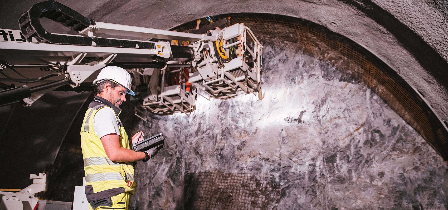
We produce all necessary surveying services for planning, construction and operation, for maintenance as well as for rehabilitation and modernization of tunnel projects. Our competence encloses tunnel scanning, network measurements, geotechnical measurements, 3D deformation measurements and construction survey.
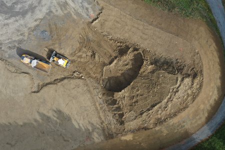
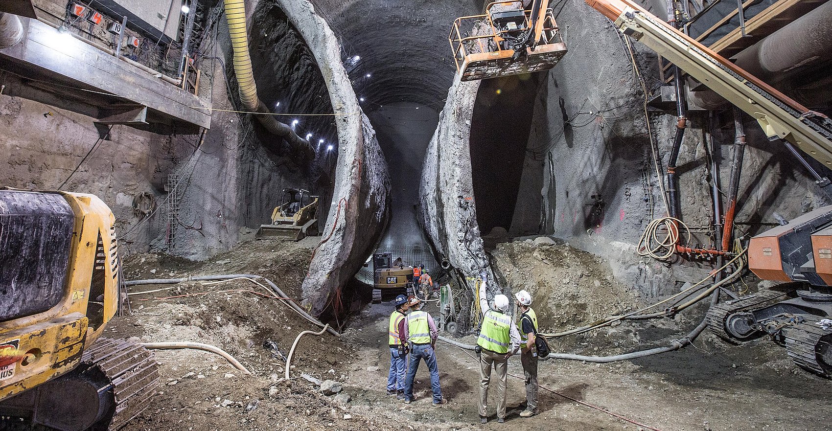
Especially in tunnelling new portal networks must be created or existing network fields must be densified by the creation of additional interpoints. The maintenance of a highly precise advance network during the tunnel construction work is of the highest necessity for the construction survey.
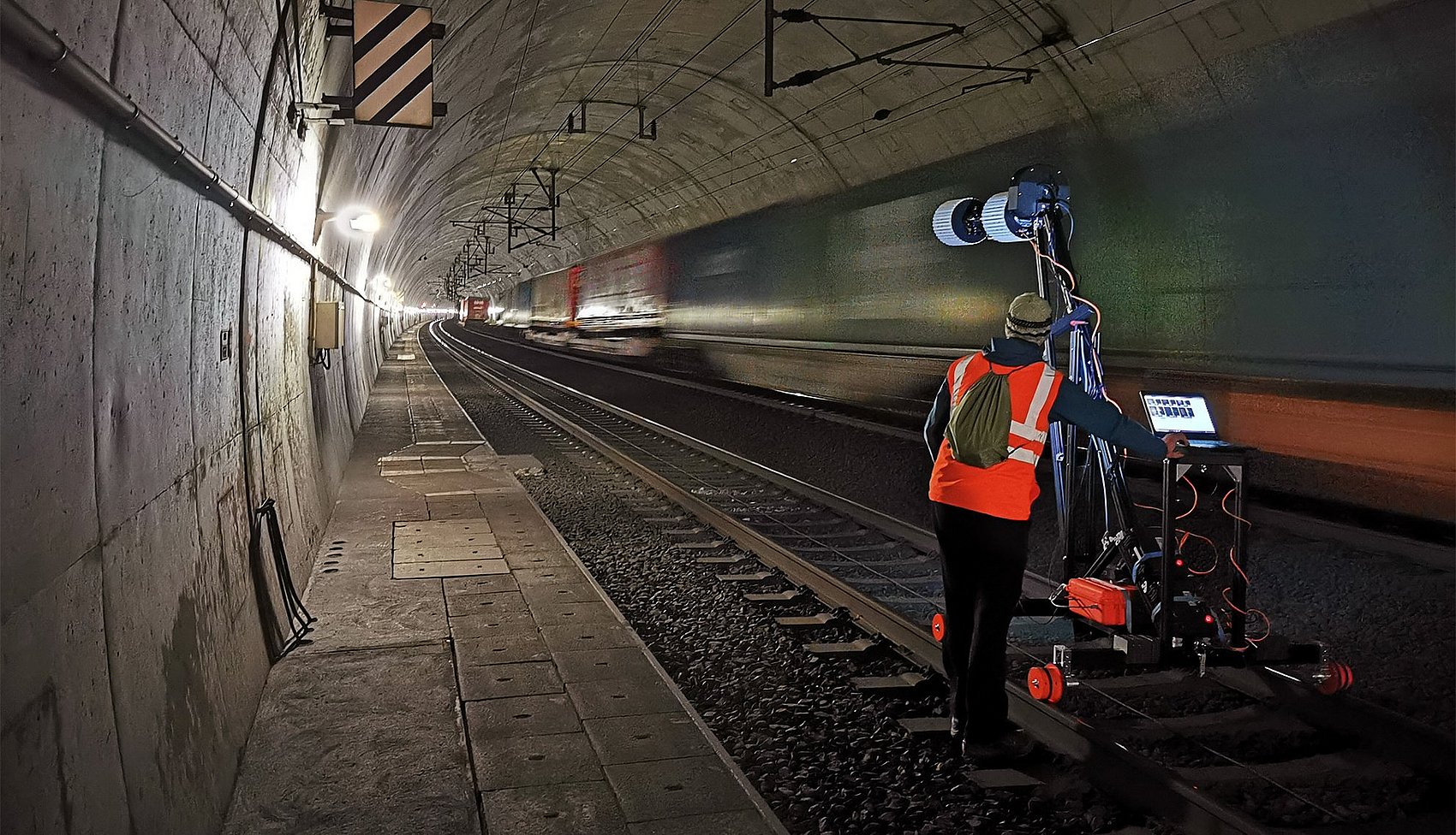
Today the generation of complex surfaces as full area 3D models is necessary to generate construction plans and to calculate volumes as well as to investigate, observe and document damages and deformations. For data acquisition we use photogrammetry, the state-of-the-art laser scanner technology and hybrid systems. Scanning, within the scope of our services encloses the business areas of civil engineering and plant construction as well as geological formations and remote survey.
The exact and quick as-built documentation of infrastructures is crucial for facility mangement and for the implementation of structural refurbishments and rehabilitations. Deterioreted buildings are often complicated to surey with conventional single point methods due to irregularities of the building. Therefore Dibit Messtechnik GmbH provieds an areal data recording process with laser scanning technology.
Our highly qualified graduated surveyors, with long-standing experience at home and abroad, offer to you precise surveying work within the bound of geodesy of engineering. These surveying works are GPS measurements, network-, check- and monitoring measurements, perpetuations of evidence as well as automated monitoring.
For the individual business areas we developed special solutions, which are provided to our clients within the scope of system renting, to enable an independent implementation of measurement tasks. Beside the system instruction, the professional support of the clients during the renting duration also belongs to this scope of business.