dibit Solutions: TSC Tunnelscanner FSC 6100-SRmF10 More Information …
Based on our long-standing experiences we create tools for the solutions of complex surveying tasks. These tools exist of hardware solutions for the field practice and software solutions for evaluation, 3D modelling and visualisation.
Our solutions are not only applied by ourselves, we also provide them for you. Therefore you can accomplish own surveying projects, according to the requirements and specifications of your clients. Our research and development department optimises and improves these solutions constantly, so you are able to carry out your orders with the state-of-the-art technologies. We subdivide our dibit solutions into three groups: Tunnel, Terra and Air.

Photogrammetric and laser scanner systems for full area 3D surveying as well as software and automation solutions for surveying with classical geodetic methods.
Full area 3D-survey of the tunnel surface in all construction phases - from excavation to final lining. Documentation of the tunnel construction work and its characteristics, including fixtures, damages, rehabilitation areas or implemented rehabilitation measures with dibit TIS (Tunnel Information System).
The dibit GSL, Geodetic Solution for Linear Structures has been designed for tunnel construction related surveying tasks and includes several functionalities for geodetic calculations. The software is also well suited for other linear structures with alignment and profile calculations. dibit GSL consists of the two modules, which are GTM for geotechnical monitoring and CSS for construction surveying
Semi-automated tunnel guidance system for tunnel excavation. This system carries out predefined surveying tasks for - excavation profile layout, girder set out, profile check, guide laser for drilling and canopy pipe layout. These tasks can be easily accomplished by the mining crew or foreman. The required robotic total station can be either mounted on a bracket or free positioned on a tripod.
"Midrange" and "longrange" laser scanner systems for the full area 3D survey of geological formations and for automated geological monitoring of danger zones.
With the dibit GSC - Geoscanner full area 3D surveys of geological formations can be accomplished. Nevertheless, dibit GSC was developed to carry out the automated supervision of danger zones - above all, in the alpine area.
Hardware
According to purpose different models of laser scanners are instated, which can be installed in the area temporarily or constantly. In future these scanners will also be equipped with a high-resolution digital colour camera to receive improved picture information about the supervised area.
Radio paths or mobile telephone networks can be used for the data transfer of measuring data or result data.
Software
The software, which belongs to dibit system GSC allows the single recordings of ROIs (Region of interest), or the planning and installation of long-term recording and supervision scenarios. The geoserver carries out the predefined measuring tasks automatically - 24 hours during the day and seven days in the week.
Nevertheless, a fully automatic data processing module is included, which makes available the results of supervision measurements immediately after the measurement.
Results
The immediate result of every measurement is a geological referenced, full area 3D-model of the affected ROI.
Modelling of geological formations
Geological referenced 3D-models of single measurements can be combined to a total model, which are further used primarily for planning tasks in CAD and GIS systems.
Geomonitoring
To detect movements and possible endangering the 3D-models and picture information of different epochs are compared. From these information conclusions about movement velocities of slide slopes or the hazard potential of avalanche slopes can be made.
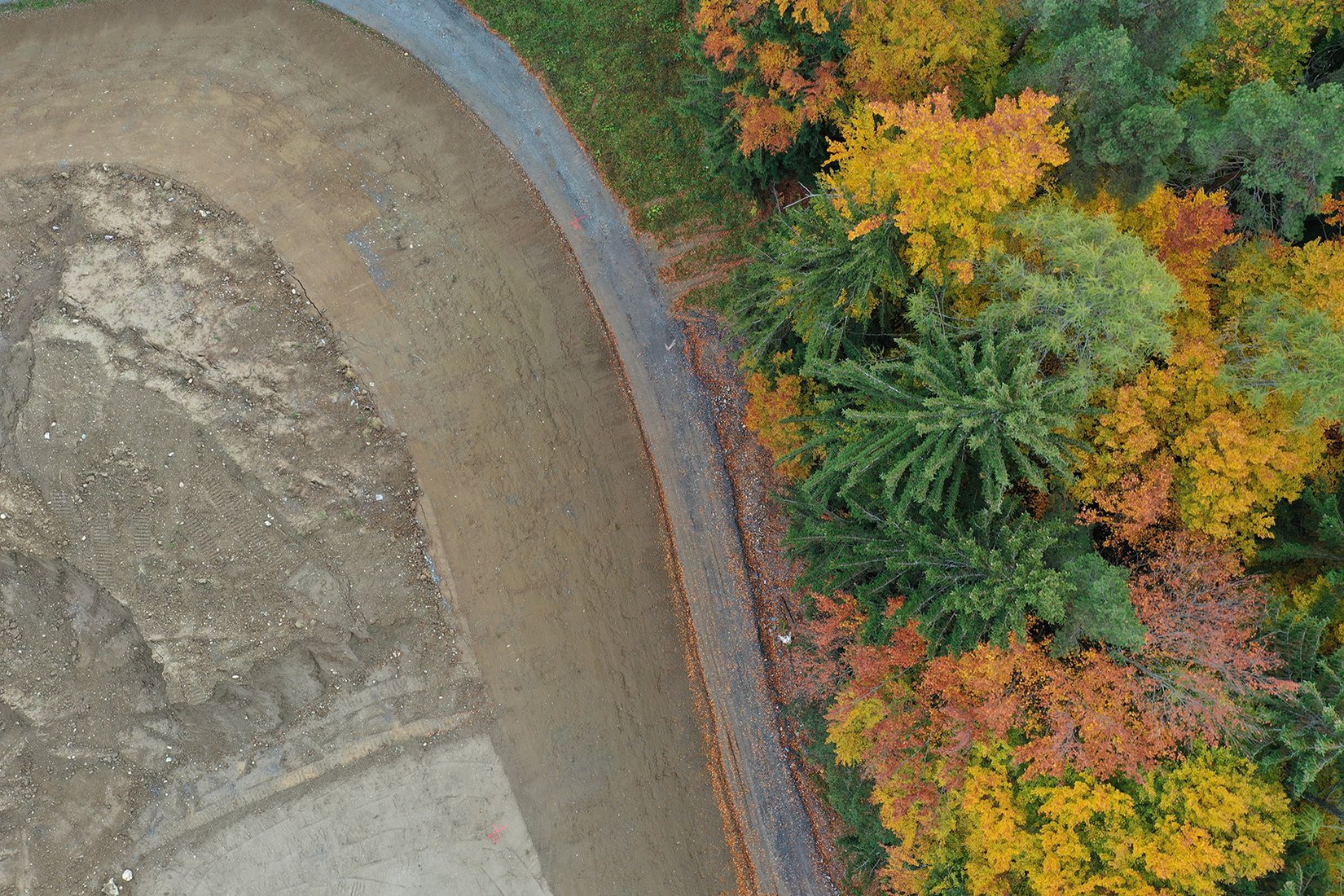
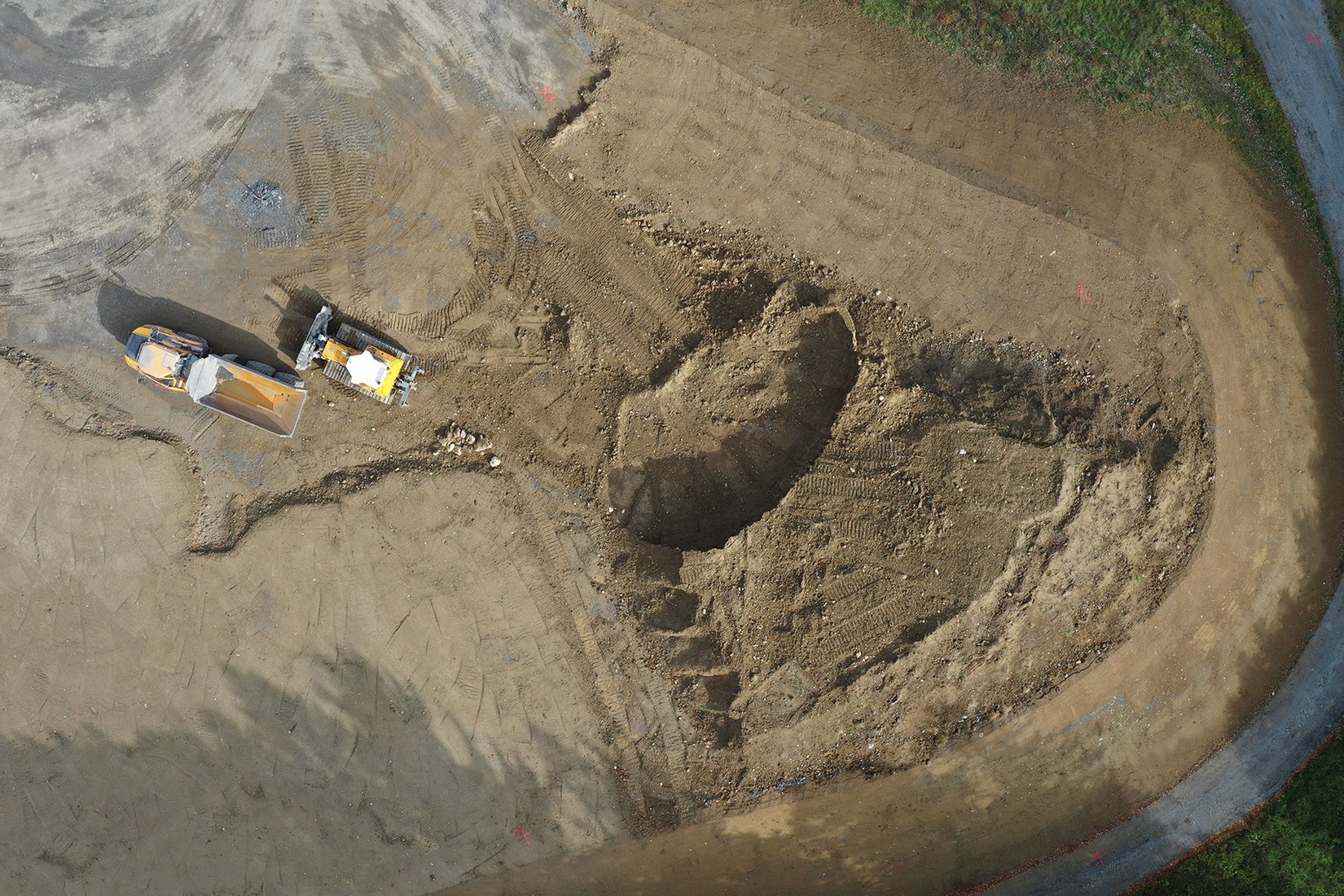
dibit SSL has been developed especially for the full area 3D - survey of line construction works.
The data structures allow an efficient modelling and representation of the actual geometry. Performance reports between planning and implementation, or in - situ assessment data can be simply carried out.
Applications
The application of dibit SSL occurs in the following areas of the civil engineering:
Bridge construction: deformations, ...
Road construction: trenches, dams, road surfacing (thickness, smoothness) ...
Railway construction: trenches, dams, observance of railway clearance diagrams ...
Hydraulic engineering: concrete pavements (thickness)...
Hard- und Software
The proven hardware and software of dibit Tunnelscanners is used.
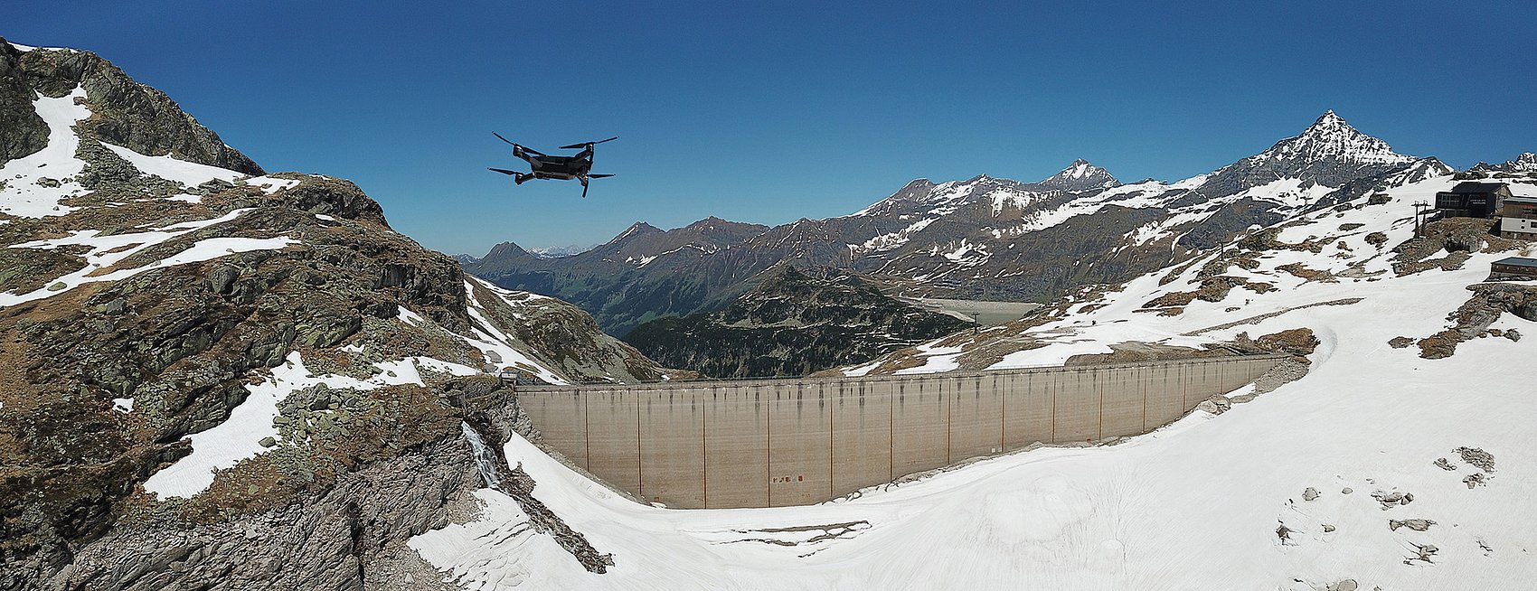
Photogrammetric airborne system for quick and lowcost aerial pictures and creation of digital terrain models (DGM) with matching ortho - images.
dibit Airborne system was developed to create an easy, quick and reasonable possibility for the recording of aerial pictures. It is a photogrammetric system - the camera positions and camera orientations are determined by GPS and inclination measurement.
Hardware
The recording hardware exists of the following components: high-resolution digital colour camera, inclination sensor and differential-GPS system. Of course an airplane is required, nevertheless, no modifications or special picture flight equipments are necessary.
Aereal Photograph
After a picture flight oriented survey photographs are available. The photogrammetric evaluation occurs automatically with dibit software modules.
Results
The evaluation result of the survey photographs is a digital area model (DGM) and the associated ortho picture of the flown area.
From this digital area model (DGM) different data can be obtained, which are available for further use in CAD and GIS systems:
Ground plans, contour lines, terrain edges, basic data for geoinformation systems, VRML models for the 3D - visualisation of area formations, and much more.